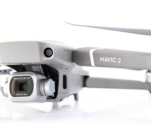
UAV/Drone Surveys
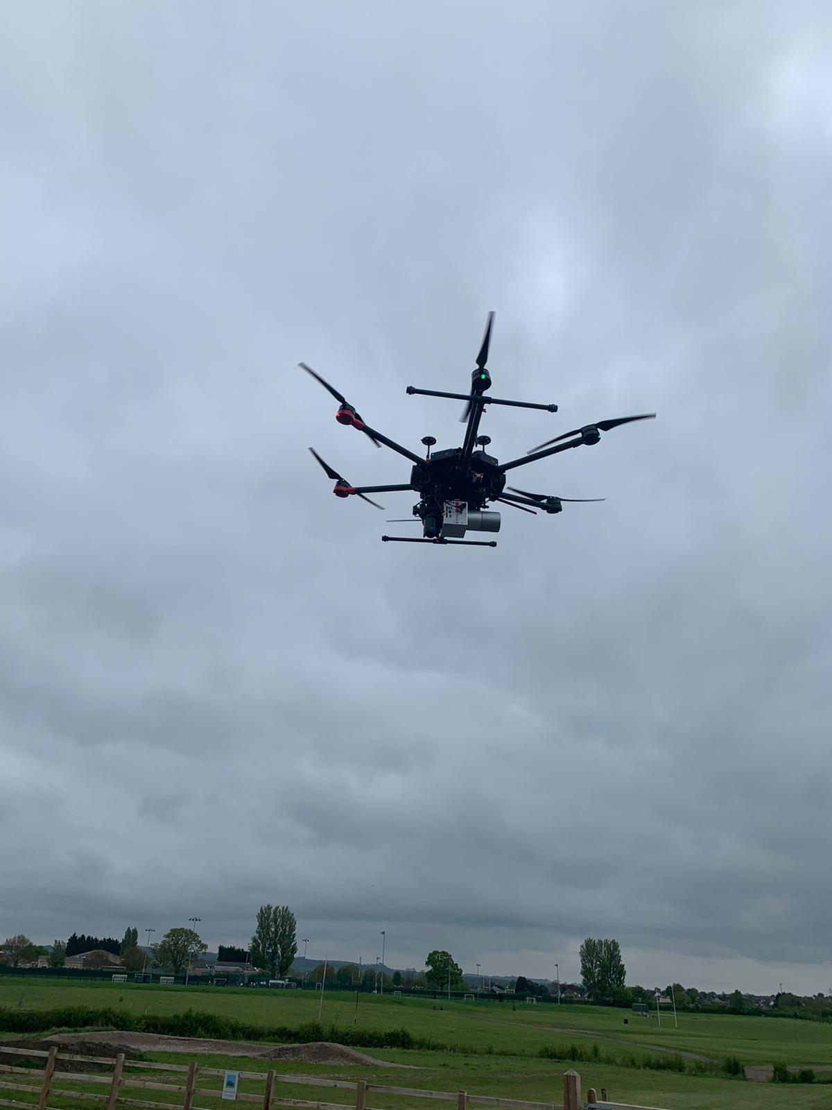
At South West Surveys we run our own in-house drone operations with fully insured, CAA approved pilots.
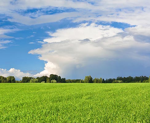
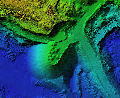
Drones are a fantastic tool to our surveying arsenal, collecting data from otherwise out of reach places and areas of high risk such as railways, motorways, dilapidated structures or small islands. Covering large areas of land, from open farmland to woodland, our lidar system can penetrate tree canopies and map the ground beneath. Drones can provide you with a wealth of data including plant health and vigour, weed location and density, precise area measurements and elevation changes across your land.
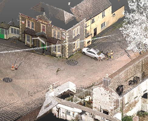
Using our 42mp camera we can provide a set of jpg images, which can also be supplied as a rich 3d pointcloud. This can be for sites in their entirety, or to complete pointcloud datasets where a terrestrial laser scanner would not reach.
Services We Offer
- Condition surveys
- Photography
- Marketing
- Construction progress monitoring
- Asset management
- 2d orthomosaic maps
- 3d pointcloud
- Monitoring for marine, coastal or flooding
- Documentation of Heritage buildings & structures
- Inspection (roof, wind turbine, pylon, bridges, power lines, etc)
- Thermology (solar panels, roof heat loss, heavy industry)
- Volume & area calculations
- Field inspection and crop monitoring
- GPS position
- DTM (digital terrain models)
- Building inspections