Bathymetry Survey
Bathymetry
South West Surveys offer bathymetry surveys for customers across the UK.
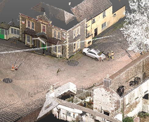
We use a multitude of data collection methods to produce the best possible results, these range from total stations, GPS, LIDAR & USV (unmanned surface vehicles) to multibeam echosounders.
Using these specialist surveying equipment, we can accurately plot the positions of watercourses, watercourse structures and nearby topographic detail. These surveys will be used for a variety of applications such as planning, design work, maintenance, flood risk assessment, ecology management and hydraulic modelling.
Bathymetry surveys are ideal for:
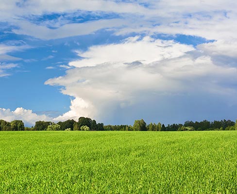
- Rivers, estuaries & deltas
- Harbours & marinas
- Lakes & reservoirs
- Canals, rivers, brooks & ditches
- Beaches & coastlines
Our surveys are referenced back to OSGB36 & ODN height.
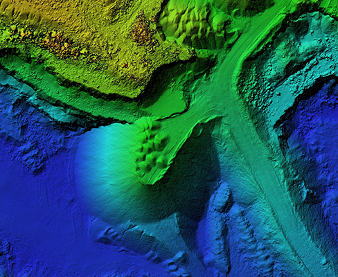
Outputs of our Bathymetry surveys will include, but are not limited to, cross sections, elevations of structures (weirs/sluices, culverts, bridges) topographic surveys & bed levels.
Services we offer include:
- 3D pointcloud
- Contours
- CSV
- 2D/3D Topographic survey
- Cross section & structure profiles
Browse Our Latest Projects
If you are interested in our Bathymetry Survey services, check out the gallery for examples of our latest work and for further information, head over to our contact page


Contact Us Today
Use our form to estimate the initial cost of renovation or installation.